Area of Expertise: GPS
Related Services
QSP’s topographic data services cater to the utility industry’s specific needs at a fraction of the cost of using a Land Surveyor. Our method for creating digital landbase is a combination of aerial photography with GPS field data collection and applicable parcel fabric. The end product can be used for engineering projects that include Planning and Design as well as Construction Drawings integration and/or integration/update of GIS info.
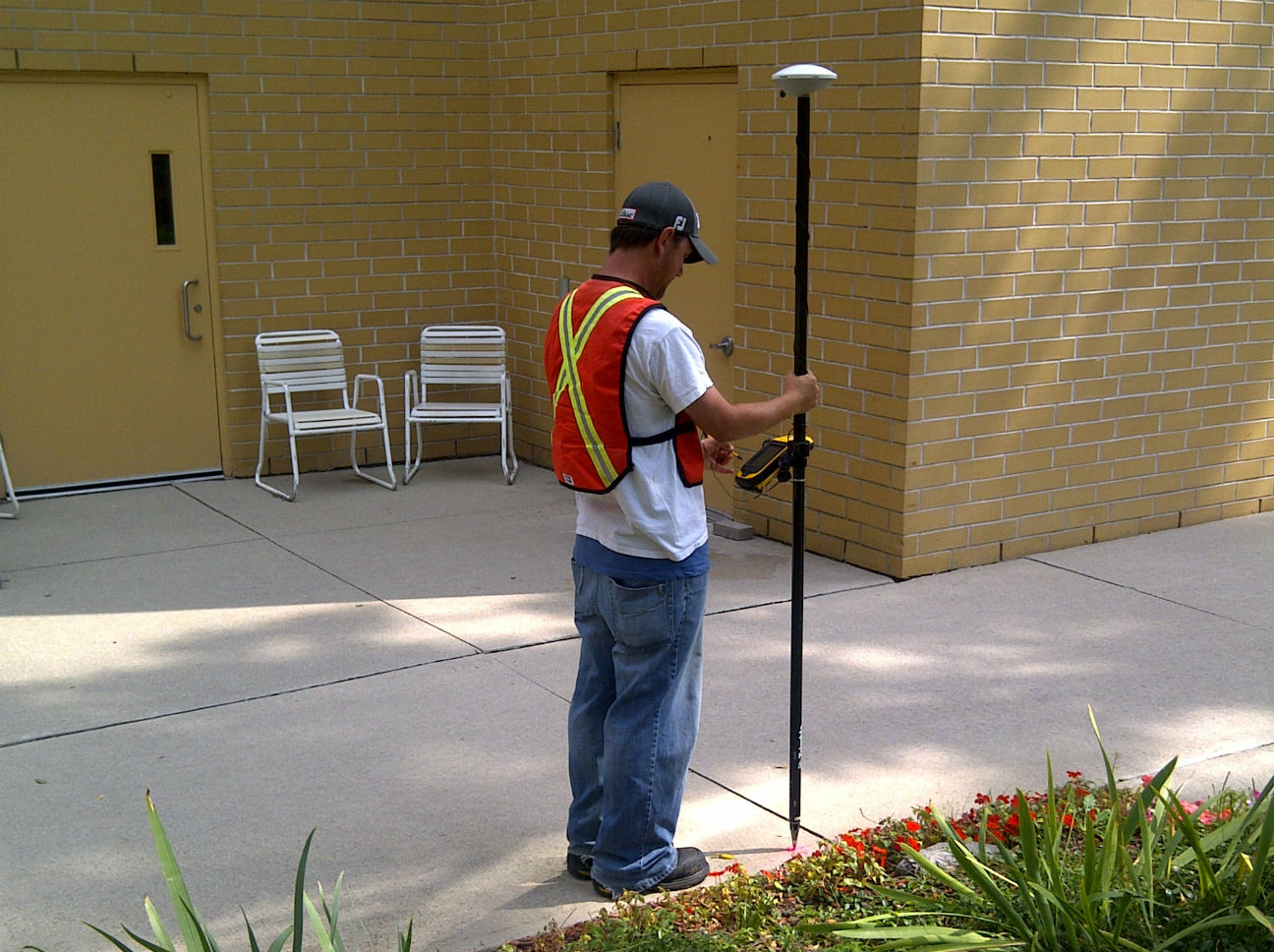
Another product that QSP produces for the utility industry is profile drawings. Profiles are used for special permit projects where the high accuracy of elevation and structure information are paramount. We utilize high accuracy RTK-grade data collection methods for the production of these drawings. Examples of special permits include: water crossings, culvert crossings, and rail road crossings. These end products can also be used for engineering projects that include Planning and Design as well as Construction Drawings.
Certain projects require QSP to collaborate with other organizations in order to produce a client’s desired end product. When working with other companies QSP takes the lead in the coordination of services in order to minimize project costs and to help with overall project time management. The organizations that we work alongside include utility locate companies and construction companies.
While working with utility locate companies, locators first mark the location of the utility, then a QSP GPS Technician closely follows and captures the real world coordinates. The end use of the collected data is for pre-engineering planning and to update GIS database information to ensure that it is spatially correct. QSP is also currently working closely with utility locate companies to work towards the implementation of the City of Toronto locates certificates.
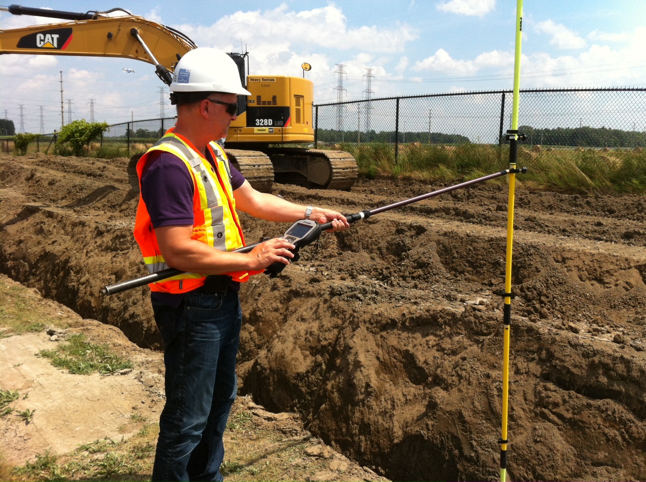
QSP also works with field construction crews and captures the exact location of the utility as it lies in the ground before cover. Horizontal and vertical coordinates of utilities are collected at the time of construction to ensure that the exact location and depths are recorded (up to 1cm accuracy). By working on projects like these we are helping the utility industry move toward meeting CSA S250 Mapping of Underground Utilities standards.
QSP supports the utility and engineering industry using GPS by locating and marking known coordinates in the field for various requirements. Identifying, navigating to, and marking specific locations in the field are as a result of careful preparation by senior CAD, GIS and GPS technicians.
Information is pre-mapped and transferred to the GPS units, where navigation and marking commences. Services that QSP provides in this area include:
- Placement of stakes for proposed utility routes based on project requirement (usually spaced 10-20m apart).
- Stake borehole layouts for engineering firms.
- Above ground locating and marking coordinates of areas of defective underground pipelines (a result of pipeline evaluation data from pigging sensors).
Equipment Used
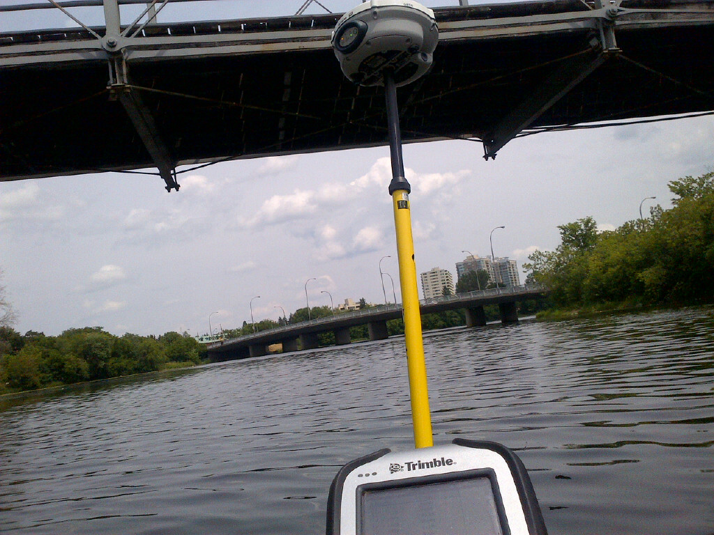
- Trimble GeoXH 6000 with Zepher Model2 Antenna
- Trimble TCS3 with R8 or R10 Antenna
- Total Station or equivalent
- Schonstedt Pin metal locators
Software Applications Used
- Trimble Access
- TerraSync
- ESRI ArcMobile
- Pathfinder Office